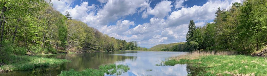
What is a watershed?
What is a watershed?
Physically, it’s a land area that channels rainfall and snowmelt downhill, through streams and rivers, to outflow points such as reservoirs and, eventually, the ocean.
Politically, a watershed property is an area designated for save collection of drinking water from rainfall.
In North Adams, our drinking water comes from the northeast facing slopes below Mt Greylock (more specifically, Mt Williams, Mt Fitch, and Ragged Mountain).
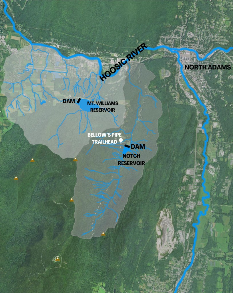
Image 1:
The greyish areas indicate the physical watersheds (sloping ground) as defined by upper ridges, through outlet at the Hoosick River.
We have two reservoirs. The uphill reservoir named Notch, and the lower reservoir, Mt. Williams. The Mt. Williams reservoir is fed by a pipe from the Notch reservoir, in addition to streams from its own smaller watershed area.
The creation of dams and reservoirs effectively divided the upper portions of these watersheds from the lower. The water collected in reservoirs is now piped to homes and businesses, through which it still eventually reaches the Hoosic River.

